
GRASS GIS
GRASS GIS is a computational engine for raster, vector, and geospatial processing, including work on terrain, ecosystems, hydrology, data management, and ima…
What GRASS GIS is
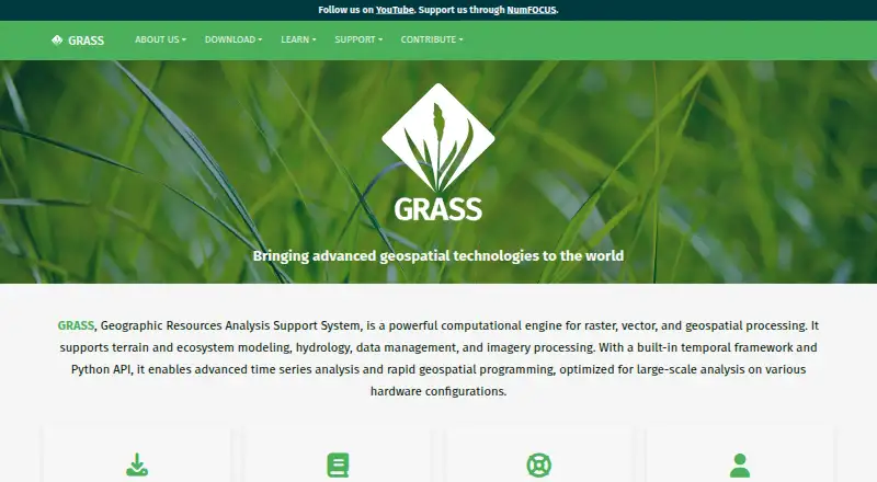
GRASS GIS is a computational engine for raster, vector, and geospatial processing, including work on terrain, ecosystems, hydrology, data management, and imagery. Its more than 500 modules process and render geographic data, with tools for raster, 3D voxel, terrain, hydrological, vector, temporal, image-processing, and spatial-statistics work. The GDAL-OGR library enables support for nearly all common GIS file formats. Users can work through a graphical interface, command line, C API, Python, Jupyter Notebook, or WPS. GRASS integrates with QGIS and R and offers PostgreSQL and SQLite database interfaces. Its official Addons repository contains more than 300 extensions. The software is free and open source under GPL (>=v2), with no warranty. It is available for Linux, macOS, and Windows, as well as through API, web, and self-hosted platforms. Prebuilt macOS applications are signed and notarized. GRASS offers worldwide community support, along with commercial consulting, training, and custom-development services.
Good
- More than 500 geographic processing and rendering modules
- Supports nearly all common GIS file formats
- Offers GUI, command-line, Python, and Jupyter interfaces
- Integrates with QGIS, R, PostgreSQL, and SQLite
- Free and open source under GPL (>=v2)
Watch out
- The software carries no warranty
- Prebuilt macOS applications are the listed signed and notarized option
- Community support is available alongside commercial services
Who it suits
GRASS GIS suits scientists, researchers, developers, government agencies, universities, and companies working with geographic data. Its range of interfaces and analysis tools may fit users who need raster, vector, or other geospatial processing.
Verdict
GRASS GIS offers a broad collection of geospatial processing tools and several ways to use them, from a graphical interface to Python and WPS. It is free and open source, but comes with no warranty.
Plans and prices
From GRASS GIS's own pricing page, checked 1 Oct 2026.
| Plan | Price | What it gives you |
|---|---|---|
| GRASS GIS | Free | free and open source · GPL (>=v2) · no warranty |
The facts
Each one read from GRASS GIS's own pages, with the date it was checked.
What it does
- Analysis
- Features include raster, 3D voxel, terrain, hydrological, vector, temporal, image-processing and spatial-statistics tools.checked 1 Oct 2026
- Audience
- GRASS is used by scientists, developers, researchers, government agencies, universities and private companies.checked 1 Oct 2026
- Containers
- Official Docker images are published as osgeo/grass-gis with Alpine, Debian and Ubuntu variants.checked 1 Oct 2026
- Data formats
- GRASS supports nearly all common GIS file formats through the GDAL-OGR library.checked 1 Oct 2026
- Extensions
- The official GRASS Addons repository has more than 300 extensions.checked 1 Oct 2026
- GIS modules
- GRASS contains over 500 modules for processing and rendering geographic data.checked 1 Oct 2026
- Governance
- The Project Steering Committee guides direction, budget and governance under OSGeo, with NumFOCUS fiscal sponsorship.checked 1 Oct 2026
- Integrations
- GRASS integrates with QGIS and R, and supports PostgreSQL and SQLite database interfaces.checked 1 Oct 2026
- Interfaces
- GRASS provides GUI, command-line, C API, Python, Jupyter Notebook and WPS interfaces.checked 1 Oct 2026
- Purpose
- GRASS is a computational engine for raster, vector and geospatial processing, including terrain, ecosystem, hydrology, data management and imagery work.checked 1 Oct 2026
- Security
- The roadmap commits to vulnerability detection tools, fixing reported security issues and maintaining CI workflows for standards compliance.checked 1 Oct 2026
- Support
- GRASS offers worldwide community support plus commercial consulting, training and custom-development services.checked 1 Oct 2026
The company
- Founded
- 1982checked 23 Sep 2026
Where it runs
- macOS security
- The prebuilt macOS applications are signed and notarized.checked 1 Oct 2026
- Platforms
- Official downloads cover Linux, macOS and Windows, with Docker images and conda packages also available.checked 1 Oct 2026
The full review of GRASS GIS
GRASS GIS is a geospatial processing system for raster, vector and related geographic data. It is best suited to researchers, developers and organizations with advanced spatial-analysis needs. Its broad toolkit and flexible interfaces are compelling at no cost, though simpler mapping needs may call for a more focused tool.
Overview
Developed since 1982, GRASS brings together processing and rendering for work ranging from terrain and hydrology to ecosystems, imagery and data management. It is free and open source under GPL (>=v2), with no warranty. GUI and programming interfaces let it serve both as a working environment and as part of a larger technical workflow.
For a broader comparison, see our GIS Software list.
Key features
More than 500 modules cover raster and vector work, 3D voxels, terrain, hydrology, temporal analysis, image processing and spatial statistics. That is a substantial analytical range for demanding projects; it is likely more machinery than someone seeking only basic map viewing needs.
Support for nearly all common GIS file formats through GDAL-OGR, alongside PostgreSQL and SQLite database interfaces, helps GRASS fit into varied data environments. Integrations with QGIS and R make it useful as a processing component as well as a standalone system. The official Addons repository adds more than 300 extensions, giving users further options while requiring some judgment about which capabilities suit their workflow.
Work through a GUI or command line, or use the C API, Python, Jupyter Notebook or WPS. This breadth suits technical and repeatable workflows; those who want one narrowly defined, browser-first mapping service may prefer a more focused product. Official Docker images are available in Alpine, Debian and Ubuntu variants, useful for teams choosing among those container environments.
GRASS's roadmap commits to vulnerability-detection tools, fixing reported security issues and maintaining CI workflows for standards compliance. Its prebuilt macOS applications are signed and notarized. Worldwide community support is complemented by commercial consulting, training and custom development, while the Project Steering Committee guides direction, budget and governance under OSGeo, with NumFOCUS fiscal sponsorship.
Pricing
The GRASS GIS plan costs nothing. It is free and open source under GPL (>=v2), with no warranty. There is no paid tier to weigh against a free cap: users get an advanced spatial-analysis toolkit without a software charge, while accepting the stated no-warranty terms.
Platforms
GRASS is available for Linux, macOS and Windows, as well as through API, web and self-hosted deployments. Its hybrid deployment profile and web-mapping support make it adaptable to different setups, while the desktop operating-system coverage suits users working locally.
Who it's for
Scientists, researchers, developers, government agencies, universities and private companies are among GRASS's users. It is the stronger fit for people who need varied geospatial analysis and can make use of its modular, multi-interface approach. For straightforward viewing or publishing without advanced processing, a simpler GIS or mapping service may be a better match.
Pros and cons
- Pros: More than 500 processing and rendering modules cover a broad range of spatial analysis, including 3D voxel and temporal work.
- Pros: GUI, command line, APIs, notebooks and WPS support give technical users multiple ways to build a workflow.
- Pros: Free and open source, with broad format support, database interfaces, integrations and an active Addons repository.
- Cons: Its advanced, wide-ranging toolset is more than many basic mapping tasks require.
- Cons: The software comes with no warranty, a material consideration for organizations weighing operational risk.
Alternatives
QGIS is another free, open-source GIS option for users who want a different GIS application with Android and iOS platform support in addition to desktop and self-hosted options.
GIS Cloud is worth considering when a freemium service and free trial are preferable; its listed options include publisher plugins and a Track plan at $5 a month.
SuperMap GIS is a paid alternative with a free trial and support for mobile, desktop, web and self-hosted platforms.
NextGIS Web offers a freemium route with a free trial and web-oriented deployment; its Mini plan is €180 a year, billed annually, for 1 user, 10 GiB storage, unlimited layers, 1 tracker and 1 collector.
Felt may suit personal map sharing: its free Personal plan includes unlimited maps and sharing but does not allow own data file uploads and is for personal use only.
Google Earth Engine is a freemium, API-oriented option for users considering usage-based storage and compute charges.
QGIS Cloud is another freemium alternative with a free plan, for users looking at a cloud service alongside QGIS.
Global Mapper is a paid alternative for readers comparing commercial GIS software.
Verdict
Choose GRASS GIS if you need a broad, advanced geospatial processing toolkit and value its many interfaces, integrations and free, open-source model. Its main drawback is the breadth itself: users seeking only simple mapping may be better served elsewhere, and the no-warranty terms matter for risk-sensitive deployments.
Alternatives to GRASS GIS
- 1

Felt
Free planAndroidiOSWebAPI8.2From $199 a month - 2
NASA WorldWind
Free planOpen sourceAndroidWebAPILinux7.9Free plan - 3

Maptitude
AndroidiOSWebAPI7.8From $795 a year - 4
Mapbox Studio
Free planAndroidiOSWebAPI7.7Free plan - 5
StatSilk
Free planAndroidiOSWebAPI7.7From $495 a year - 6
GIS Cloud
Free planAndroidiOSWebAPI7.5From $5 a month