NASA WorldWind
NASA WorldWind is an open-source planetary globe engine and SDK for developers building geospatial applications.
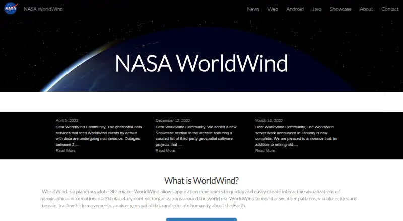
What NASA WorldWind is
NASA WorldWind is an open-source planetary globe engine and SDK for developers building geospatial applications. It renders interactive 3D globes and 2D maps to display geographic information. Listed uses include weather monitoring, viewing cities and terrain, tracking vehicles, geospatial analysis, and Earth education. Web WorldWind is written in JavaScript and runs in browsers on desktop and mobile devices across major operating systems. WorldWind Java runs on Windows, Mac OS X, and Linux using Java and OpenGL. The web edition supports REST, WMS, and Bing sources for imagery, terrain, and geographic data. The Java edition lists formats such as GeoTIFF, NITF, Shapefile, KML, GeoJSON, and GPX, along with measurement, line-of-sight analysis, terrain intersection, and shape interactions. It also lists WMS and WFS protocols and links to Swing, AWT, and JOGL. The WorldWind Server Kit extends GeoServer for hosting geospatial data. The project provides API documentation, a community forum, and source code and issue tracking through GitHub. The site describes it as open source and lists a free runtime and development license for Java.
Good
- Renders interactive 3D globes and 2D maps.
- Web edition runs on desktop and mobile.
- Java edition includes geospatial analysis tools.
- Supports multiple imagery and GIS formats.
- Open-source with free Java runtime and development license.
Watch out
- Geospatial data services were reported under maintenance.
- Outages were possible during April 2023.
Who it suits
WorldWind is for developers building geospatial applications and organizations visualizing geographic data. Its web and Java options cover browser use as well as Windows, Mac OS X, and Linux.
Verdict
WorldWind offers developers globe and map rendering alongside data-source and analysis capabilities. Note that the listed service-maintenance limitation refers to April 2023.
Plans and prices
From NASA WorldWind's own pricing page, checked 15 Oct 2026.
| Plan | Price | What it gives you |
|---|---|---|
| Free | Free | free to download · open-source SDKs |
| NASA WorldWind | Free | Open-source SDK and APIs · free run-time and development license · unencumbered use on any number of devices |
The facts
Each one read from NASA WorldWind's own pages, with the date it was checked.
What it does
- 2D maps
- The web SDK provides 2D map mode with selectable and extensible projections.checked 15 Oct 2026
- 3D models
- Web WorldWind tutorials demonstrate loading COLLADA .dae models asynchronously and placing them on the globe.checked 15 Oct 2026
- Analysis features
- WorldWind Java includes measurement, line-of-sight analysis, terrain intersection, and shape interactions.checked 10 Oct 2026
- Build requirements
- The Web WorldWind build is documented as working with Node.js 12.18.0 LTS and provides npm build, documentation and test commands.checked 15 Oct 2026
- Data and protocols
- Web WorldWind supports REST, WMS, and Bing and can display imagery, terrain, and geographic data from public or private sources.checked 10 Oct 2026
- Data services
- Web WorldWind supports REST, WMS and Bing data services.checked 15 Oct 2026
- Desktop graphics requirement
- WorldWind Java requires a modern graphics card with a current driver; outdated drivers are identified as a common display problem.checked 15 Oct 2026
- Documentation
- The developer guide covers functionality, user guidance and documentation for every Web WorldWind module.checked 15 Oct 2026
- Geocoding
- The navigation API includes a Nominatim geocoder based on OpenStreetMap data through MapQuest.checked 15 Oct 2026
- Hosting
- The WorldWind Server Kit extends GeoServer to provide a geospatial solution for hosting data.checked 10 Oct 2026
- Imagery and terrain
- It includes built-in high-resolution imagery and terrain and can retrieve custom geographic data from public or private sources.checked 15 Oct 2026
- Integrations
- The SDKs support OGC WMS and related geospatial services, and Android release notes list WMS, WMTS, WCS and GeoPackage support.checked 15 Oct 2026
- Java data formats
- WorldWind Java lists support for imagery, government and GIS formats including GeoTIFF, NITF, Shapefile, KML, GeoJSON, and GPX.checked 10 Oct 2026
- Java SDK
- WorldWind Java is a cross-platform Java SDK for desktop 3D geospatial applications.checked 15 Oct 2026
- Java support
- WorldWind Java runs on Windows, Mac OS X, and Linux and uses Java and OpenGL.checked 10 Oct 2026
- Latest web release
- The Web WorldWind repository identifies version 0.11.0 and records COLLADA, placemark-picking and Well-Known Text improvements.checked 15 Oct 2026
- License
- Web WorldWind and WorldWind Java are licensed under Apache License 2.0, while the Android repository states NASA Open Source Agreement 1.3.checked 15 Oct 2026
- License warranty
- The Apache-licensed SDKs are supplied without warranties under the license terms.checked 15 Oct 2026
- Licensing
- The site describes WorldWind as completely open source and says the Java edition has a free run-time and development license.checked 10 Oct 2026
Where it runs
- Android release
- The Android repository documents version 0.8.0 as the Gradle dependency and provides 0.9.0-SNAPSHOT artifacts.checked 15 Oct 2026
- Android SDK
- WorldWind Android supplies a library, examples and tutorials for 3D virtual-globe applications on phones and tablets.checked 15 Oct 2026
The company
- Company founding
- NASA opened for business on October 1, 1958, after the National Aeronautics and Space Act created it.checked 15 Oct 2026
- Company headquarters
- NASA Headquarters is in Washington, DC.checked 15 Oct 2026
- Company legal name
- The maker is the National Aeronautics and Space Administration (NASA), a U.S. government agency.checked 15 Oct 2026
Alternatives to NASA WorldWind
- 1

Felt
Free planAndroidiOSWebAPI8.2From $199 a month - 2

Maptitude
AndroidiOSWebAPI7.8From $795 a year - 3
Mapbox Studio
Free planAndroidiOSWebAPI7.7Free plan - 4
StatSilk
Free planAndroidiOSWebAPI7.7From $495 a year - 5

GIS Cloud
Free planAndroidiOSWebAPI7.5From $5 a month - 6
DroneDeploy Aerial
AndroidiOSWebAPI7.1From $1,908 a year