
PhotoMesh
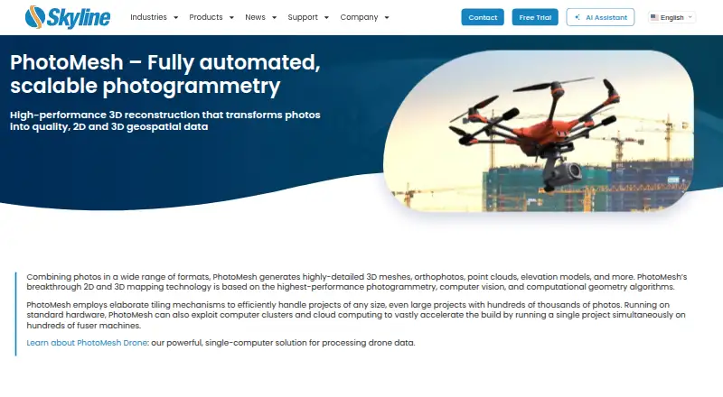
PhotoMesh converts photographs and LiDAR into 2D and 3D geospatial data, including detailed meshes, orthophotos, point clouds and elevation models.
What PhotoMesh is
PhotoMesh converts photographs and LiDAR into 2D and 3D geospatial data, including detailed meshes, orthophotos, point clouds and elevation models. Its tiling and multi-computer fuser architecture supports projects with hundreds of thousands of photos and can distribute one project across hundreds of fuser machines. Mapping outputs include multispectral true orthophotos, digital surface models and digital terrain models. Inputs include JPEG and TIFF photos, IIQ, Excel/XML/CSV photo lists, video formats, and LAS/LAZ or E57 LiDAR. Exports cover 3DML, o3DML, 3D Tiles, DAE, OBJ, FBX, OSGB, I3S/SLPK meshes, LAS point clouds, TIFF orthophotos and terrain models, plus XML or SQLite AT results. REST APIs automate production and manage project queues. PhotoMesh Production Service reads customer data from AWS, Google Cloud or Azure storage and returns outputs there through Skyline computing resources. It runs on Windows and Linux with cloud or self-hosted deployment. Pricing is on request, with no free plan and a 30-day trial after form submission and email confirmation.
Good
- Processes very large photo projects
- Exports meshes, orthophotos and point clouds
- Supports LiDAR and video inputs
- REST APIs for queue automation
- 30-day trial available
Watch out
- Pricing requires a vendor request
- Requires substantial fuser memory and storage
- No free plan
- Trial requires form and email confirmation
Who it suits
It suits surveying, mapping and geospatial teams processing large image or LiDAR projects. API access, cloud storage connections and multiple deployment models support automated production workflows.
Verdict
PhotoMesh offers broad photogrammetry inputs, outputs and deployment choices for demanding geospatial production. Its hardware requirements and quote-based pricing should be evaluated before adoption.
Plans and prices
From PhotoMesh's own pricing page, checked 9 Oct 2026.
| Plan | Price | What it gives you |
|---|---|---|
| PhotoMesh Cloud Processing | Priced on request | Skyline-managed AWS cloud service · pay per input image gigapixels · unlimited LiDAR input, managers, and fusers |
| PhotoMesh Drone | Priced on request | 1 manager · up to 10 fusers on one machine · unlimited input image gigapixels and LiDAR layers per project |
| PhotoMesh Fusers | Priced on request | 1 manager · 3–50 fusers on multiple machines, depending on package · unlimited input image gigapixels and LiDAR layers per project |
| PhotoMesh GX | Priced on request | Pay per input image gigapixels · unlimited LiDAR input · up to 6 managers depending on package · unlimited fusers |
The facts
Each one read from PhotoMesh's own pages, with the date it was checked.
Where it runs
- 2D mapping
- The product generates multispectral true orthophotos, digital surface models, and digital terrain models.checked 9 Oct 2026
- Platforms
- The listed operating systems are Windows 11 and Windows Server 2022/2025; Ubuntu 24.04 amd64 is supported for PhotoMesh fusers only.checked 9 Oct 2026
What it does
- Automation
- PhotoMesh provides REST APIs for automating production and creating, activating, monitoring, and managing project queues.checked 9 Oct 2026
- Certification
- Skyline states that it is ISO 9001 certified.checked 9 Oct 2026
- Cloud service
- PhotoMesh Production Service is a SkylineCloud SaaS running PhotoMesh projects on Skyline computing resources and can publish output to SkylineCloud Hosting.checked 9 Oct 2026
- Cloud storage
- PhotoMesh Production Service reads input data from customer cloud storage and returns output there; listed storage options include AWS, Google Cloud, and Azure.checked 9 Oct 2026
- Hardware requirements
- The maker lists 16 GB RAM per fuser, recommends 32 GB, and requires 25 GB per fuser on computers with at least 16 logical processors.checked 9 Oct 2026
- Purpose
- PhotoMesh turns photos into 2D and 3D geospatial data, including detailed 3D meshes, orthophotos, point clouds, and elevation models.checked 9 Oct 2026
- Scale
- Its tiling and multi-computer fuser architecture supports projects with hundreds of thousands of photos and can run one project across hundreds of fuser machines.checked 9 Oct 2026
- Security
- The PhotoMesh Production Service API uses a customer-specific security token to protect access to the customer’s production queue.checked 9 Oct 2026
- Support
- Skyline provides a PhotoMesh knowledge base, user guides, release notes, tutorials, and a technical support contact page.checked 9 Oct 2026
- Supported inputs
- Supported inputs include JPEG and TIFF photos, IIQ, Excel/XML/CSV photo lists, several video formats, and LAS/LAZ or E57 LiDAR.checked 9 Oct 2026
- Supported outputs
- Outputs include 3DML, o3DML, 3D Tiles, DAE, OBJ, FBX, OSGB, I3S/SLPK meshes, LAS point clouds, TIFF orthophotos and terrain models, and XML or SQLite AT results.checked 9 Oct 2026
The company
- Founded
- 1997checked 28 Sep 2026
- Headquarters
- Herndon, Virginia, USAchecked 28 Sep 2026
Money
- Trial
- The maker offers a 30-day trial of PhotoMesh and TerraExplorer Pro after the user submits the trial form and confirms an email address.checked 9 Oct 2026
Alternatives to PhotoMesh
- 1

WebODM
Free planOpen sourceWebAPILinuxmacOS8.3From $24 a month - 2

KIRI Engine
Free planAndroidiOSWebAPI8.1From $79.99 a year - 3
OpenMVG
Free planOpen sourceAndroidiOSAPILinux7.8Free plan - 4

Polycam
Free planAndroidiOSWeb7.5From $150 a year - 5
OpenReco
Free planOpen sourceWebAPILinuxmacOS7.4Free plan - 6
RealityScan
Free planAndroidiOSLinuxWindows7.4From $1,250 a year