
GeoSetter
GeoSetter is a free Windows desktop tool for viewing and editing geodata and IPTC, XMP, and Exif metadata in image files.
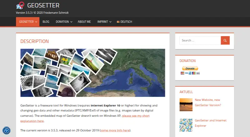
What GeoSetter is
GeoSetter is a free Windows desktop tool for viewing and editing geodata and IPTC, XMP, and Exif metadata in image files. It works with JPEG and TIFF as well as camera RAW formats including DNG, CR2, NEF, ARW, RAF, RW2, and RWL. You can place geodata on an embedded Google Maps display or enter coordinates and altitude directly, and synchronize images with track files such as GPX, NMEA, PLT, Sony LOG, and IGC. The tool can also fill location fields and altitude automatically, and export to Google Earth. GeoSetter uses ExifTool to write metadata and supports batch editing and metadata templates. The embedded map and automatic location data need an internet connection. Its interface is available in English, German, French, Italian, Swedish, Czech, Spanish, Danish, Dutch, Russian, Japanese, Chinese, and Norwegian. The listed current version is 3.5.3, released on 29 October 2019. GeoSetter requires Internet Explorer 10 or later; its embedded map does not work correctly on Windows XP.
Good
- Free Windows tool with no usage restrictions listed.
- Reads and writes JPEG, TIFF, and multiple RAW formats.
- Supports batch editing and metadata templates.
- Synchronizes images with several track-file formats.
- Offers a 13-language interface.
Watch out
- Windows only.
- Requires Internet Explorer 10 or later.
- Map and automatic location features need internet access.
- Listed current version dates to 29 October 2019.
Who it suits
GeoSetter suits Windows users who want to manage geodata and metadata in camera images, including RAW files. It is also relevant for people synchronizing photos with GPS tracks.
Verdict
GeoSetter covers geotagging, track synchronization, and metadata editing across common image and RAW formats. Its Windows and Internet Explorer requirements, internet-dependent map features, and listed version date are important considerations.
Plans and prices
From GeoSetter's own pricing page, checked 30 Sep 2001.
| Plan | Price | What it gives you |
|---|---|---|
| GeoSetter | Free | Windows only · Internet Explorer 10+ · no usage restrictions |
The facts
Each one read from GeoSetter's own pages, with the date it was checked.
What it does
- Automatic location data
- The software can automatically fill location IPTC fields and altitude values, requiring an internet connection.checked 30 Sep 2001
- Current version
- The listed current version is 3.5.3, released on 29 October 2019.checked 30 Sep 2001
- Downloads
- The official download page provides a 24 MB installation executable and a 26 MB ZIP archive.checked 30 Sep 2001
- Geotagging
- Users can set geodata on the embedded map or enter coordinates and altitude directly.checked 30 Sep 2001
- Google Earth
- GeoSetter supports Google Earth export.checked 30 Sep 2001
- Image formats
- It reads and writes JPEG, TIFF and multiple camera RAW formats including DNG, CR2, NEF, ARW, RAF, RW2 and RWL.checked 30 Sep 2001
- Intended users
- The software is aimed at managing geodata and metadata for images such as those taken by digital cameras.checked 30 Sep 2001
- Interface languages
- The interface is available in English, German, French, Italian, Swedish, Czech, Spanish, Danish, Dutch, Russian, Japanese, Chinese and Norwegian.checked 30 Sep 2001
- Maps
- It displays coordinates, image directions and tracks on an embedded Google Maps map, which requires an internet connection.checked 30 Sep 2001
- Metadata engine
- GeoSetter uses ExifTool by Phil Harvey for writing data.checked 30 Sep 2001
- Security
- The website states that it uses SSL or TLS encryption for confidential data transmission and has activated IP anonymization.checked 30 Sep 2001
- Support
- Users can submit bug reports and feature requests through a Mantis account or contact [email protected], with responses dependent on the developer's spare time.checked 30 Sep 2001
- Track synchronization
- It synchronizes images with NMEA, GPX, PLT, Sony LOG, IGC and other track files.checked 30 Sep 2001
- What it does
- GeoSetter is a freeware Windows tool for viewing and changing geodata and IPTC/XMP/Exif metadata in image files.checked 30 Sep 2001
Where it runs
- Windows dependency
- GeoSetter requires Internet Explorer 10 or higher, and its embedded map does not work correctly on Windows XP.checked 30 Sep 2001
Alternatives to GeoSetter
- 1
FREE Browser
Free planOpen sourceAndroid7.2Free plan - 2
Metadata Stripper
Free planOpen sourceLinuxmacOSWindows7.1Free plan - 3
Exif Lens
Free planiOS6.6From $0.99 a month - 4

ExifTool
Free planAPILinuxmacOSSelf-hosted6.6Free plan - 5
Photo Metadata Editor
Free planWindows6.6Free plan - 6

Exif Pilot
Free planWindows6.5€79.95, paid once