Agisoft Metashape
- Android app
- Not listed
- Free plan
- Trial only
- Runs on
- Linux, Mac, Web, Windows
Summary
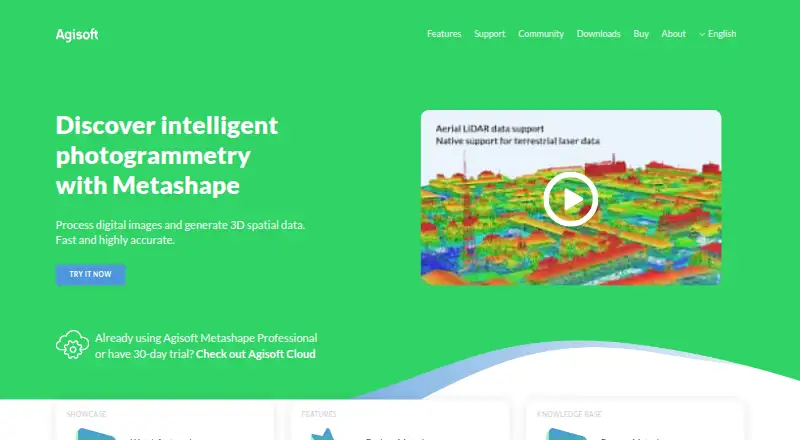
Agisoft Metashape processes digital images photogrammetrically to produce 3D spatial data for GIS, cultural heritage documentation, visual effects, and indirect measurement. It works with aerial, close-range, and satellite imagery, including automatic camera calibration and multi-camera projects. Professional Edition can create and edit digital surface and terrain models and georeferenced orthomosaics, and supports coordinate systems using EPSG codes. Its surveying tools include aerial LiDAR point attributes, laser scan registration, ground control points, targets, and scale bars. Professional Edition also handles RGB, NIR, thermal, multispectral, and satellite imagery, and can calculate user-defined vegetation indices such as NDVI. Python scripting, Java bindings, network-distributed calculations, and a cloud processing interface are available in Professional Edition. Installers for Standard and Professional editions are offered for Windows, macOS, and Linux. New users can access a 30-day full-function trial; demo mode blocks saving and exporting. Standard costs $179.00 USD once, and Professional costs $3499.00 USD once. A regular license is not time-limited and includes 12 months of email technical support and updates up to version 2.x.x.
Who it is for
Metashape suits people creating 3D spatial data from aerial, close-range, or satellite images. Professional Edition is relevant to GIS, surveying, imagery analysis, and users automating or distributing processing workflows.
What is good
- Processes aerial, close-range, and satellite imagery.
- Professional Edition supports georeferenced orthomosaics.
- Supports LiDAR attributes and ground control points.
- Professional Edition offers Python scripting and Java bindings.
- A 30-day full-function trial is available.
What to know first
- There is no free plan.
- Standard costs $179.00 USD once.
- Professional costs $3499.00 USD once.
- Demo mode blocks saving and exporting.
Verdict
Metashape covers photogrammetry and mapping workflows, with surveying, imagery-analysis, and automation capabilities in Professional Edition. Check the edition and license terms against the intended workflow before choosing between the trial and paid licenses.
Agisoft Metashape plans and pricing
All plansCompared on 3D modeling software
- Free plan
- Noagisoft.com
Facts
- Purpose
- Metashape processes digital images photogrammetrically and generates 3D spatial data for GIS, cultural heritage documentation, visual effects, and indirect measurement.agisoft.com · 29 Sept 2026
- Image processing
- It supports aerial, close-range, and satellite imagery, with automatic camera calibration and multi-camera projects.agisoft.com · 29 Sept 2026
- Mapping outputs
- Professional Edition generates and edits digital surface and terrain models and georeferenced orthomosaics, with support for EPSG coordinate systems.agisoft.com · 29 Sept 2026
- LiDAR and surveying
- Professional Edition supports aerial LiDAR point attributes, laser scan registration, ground control points, coded and non-coded targets, and scale bars.agisoft.com · 29 Sept 2026
- Imagery support
- Professional Edition processes RGB, NIR, thermal, multispectral, and satellite imagery, and can calculate user-defined vegetation indices such as NDVI.agisoft.com · 29 Sept 2026
- Automation
- Professional Edition offers Python scripting and Java bindings for automation and integration into Python or Java pipelines.agisoft.com · 29 Sept 2026
- Distributed processing
- Professional Edition supports distributed calculations across a local computer network and offers a cloud processing interface.agisoft.com · 29 Sept 2026
- Cloud companion
- Agisoft Cloud is an online platform for site inspection, annotation, and documentation integrated with cloud processing for Metashape Professional users.agisoft.com · 29 Sept 2026
- Operating systems
- Metashape Standard and Professional installers are offered for Windows, macOS, and Linux.agisoft.com · 29 Sept 2026
- Trial and demo
- New users can use a free 30-day full-function trial or demo mode, where export and save functions are blocked.agisoft.com · 29 Sept 2026
- License and support
- A regular license is not time-limited and includes 12 months of email-based technical support and free updates up to version 2.x.x.agisoft.com · 29 Sept 2026
- License restriction
- A regular node-locked or floating license does not permit providing third parties access over the Internet or using the software for a service bureau; service-provider licensing is offered for processing services.agisoft.com · 29 Sept 2026
- Security and privacy
- Agisoft says most personal data is kept on a password-protected local-network server without Internet access and that safeguards are used when data is transferred.agisoft.com · 29 Sept 2026
- Company
- Agisoft LLC lists its address in St. Petersburg, Russia, and says it was founded in 2006.agisoft.com · 29 Sept 2026
Company
- Founded
- 2006agisoft.com · 28 Sept 2026
- Headquarters
- St. Petersburg, Russiaagisoft.com · 28 Sept 2026
Best Agisoft Metashape alternatives
See all 20




Where it ranks on Everything Xiaomi
- Best 3D Modeling Software in 2026#34 of 148
- Best Photogrammetry Software in 2026#12 of 33
- Best AI 3D Scanning Software in 2026#13 of 24
Is Agisoft Metashape yours?
Claim it for free: prove the domain, then correct facts, plans and screenshots. An editor reviews every change.
Sources
- agisoft.com· checked 29 Sept 2026
- agisoft.com/features/professional-edition/· checked 29 Sept 2026
- agisoft.com/downloads/installer/· checked 29 Sept 2026
- agisoft.com/buy/licensing-options· checked 29 Sept 2026
- agisoft.com/pdf/privacy_policy.pdf· checked 29 Sept 2026
- agisoft.com/about/· checked 29 Sept 2026
- agisoft.com/index.php· checked 20 Sept 2026
- agisoft.com/buy/saas/service-provider-license/· checked 29 Sept 2026
- agisoft.com/buy/online-store/· checked 29 Sept 2026